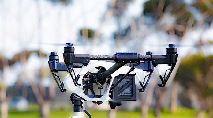
Showcasing the country's technology might, the NASSCOM CoE incubated DronaMaps has emerged as one of the most important technology marvels powering command and control centers to support search and rescue missions with NDRF and other national and international bodies during natural calamities.
The new hi-tech DronaMaps specialises in command-and-control centers that integrate existing information of geography with a backbone of 3D drone maps and drone live feeds. These feeds bring together in-depth understanding of the area of interest with real-time updates and visuals of the situation on the ground.
“Drone technology has a critical role to play in multiple areas. While we have already seen the tremendous benefits in disaster management, different areas like crowd management, crime tracking, crop estimation and condition analysis, urban disaster management, property mapping etc are some of the areas where drones can play a critical role,” Sudhanshu Mittal, Head-CoE Gurugram & Director – Technical Solutions, NASSCOM CoE said.
Previously, DronaMaps has provided geospatial intelligence-based command and control centers to 7 states in India during the Covid 19 pandemic.
NDRF, the top rescue force in the world has also adopted the new innovative technology with the help of AGNIi and Invest India. During the disaster in Uttarakhand DronaMaps' command and control center were used to prioritise decision on the ground.
According to NASSCOM, the new technology helps drastically in cutting down the time and risk of reconnaissance.
In Uttrakhand for on-ground operations, eight to nine areas were prioritized based on data from high-resolution 3D maps, live drone images, and videos. The 3D drone map enabled a simulation model of the flood, estimating the movement of the water. The real-time visual feed helped identify structures with maximum damage, location of sewage grates. During the reconnaissance phase of the rescue operations, drones helped assess if the tunnels were logged with water and strategise the safest approach.
“A geospatial analysis of the Chamoli glacier from high-resolution satellite maps revealed that between the dates of 5th February and 10th February 2021, the area lost 135 sqkm of snow cover. According to estimates, the damage to Tapovan site is spread across 35 acres with assets washed out or with structural damage,” Ayushi Mishra, COO & Co-Founder, DronaMaps, said.
According to Mishra, with an intention of assessing damage on the path and understanding the chain of events experts can potentially use


